Agrotaskmanager Office
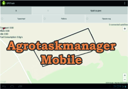
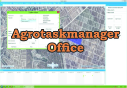
 Agrotaskmanager office is a system for tracing out land, planin and giving tasks to work, reporting work done and invested resources. With Agrotaskmanager Office you can plan, track and account your field work. It is related with the android application Agrotaskmanager Mobil.
What can Agrotaskmanager Office do for you? 
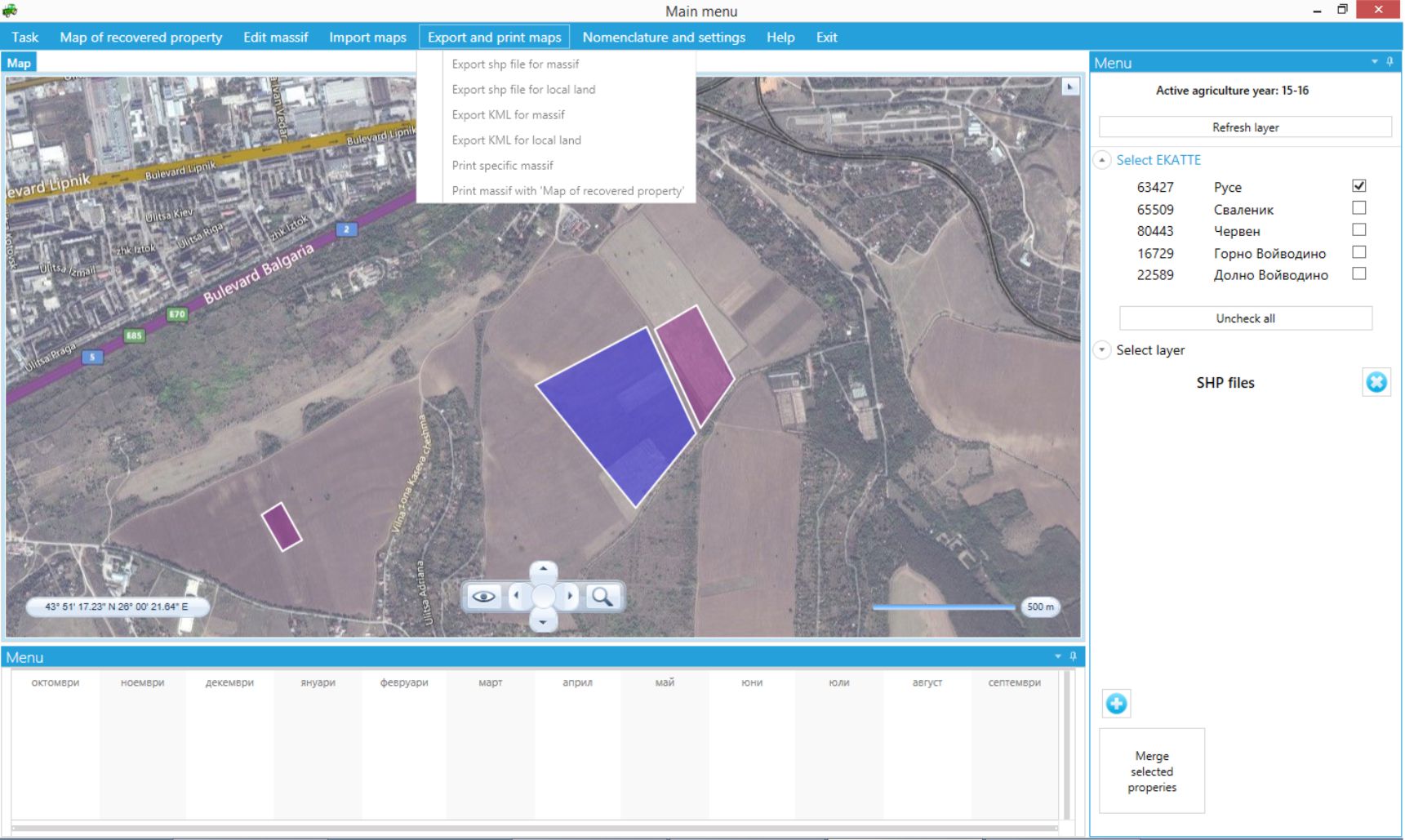
- End outlining on the field , overlapping land and gaps in between services – with Agrotaskmanager Office you can trace out the exact coordinates of your land and use them with navigation while working.
- You don’t transfer task data manually – You can transfer task automatically to Agrotaskmanager Mobil and use it as a navigation, or transfer data to your navigation using USB memory or with Agrotaskmanager Mobil.
 You can plan and all the resousres needed
- Facilitates reports for the work done and invested resources - data is transferred automatically from Agrotaskmanager Mobil in real time. In case that you are using other navigation device you can import data using KML file.
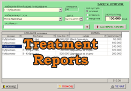
- After the task is finisfed you can report the resourses used in work and calculate the cost ot the production
- Trace tasks in real time or after work:
- You are aware were the machine is working and how much work is done
- You can finish the given task for the day and continue where you left off the next day
- You have two-way connection between your office and the machine on the field
- If the internet connection is lost the office application will receive data immediately after the connection is established again
- You will receive report without the need for any other devices
- Transfer tasks online from the office to the specified machine
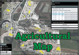
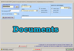
- Trace your own land or the contract land with full information about them (if you have application Documents)
- You can easily check what part of your land is arable – Start the application, find the land, import shp file and automatically calculate real arable area

- You can trace out for subsidy – import shp file, trace out the land in the application or use the shp file from Agrotaskmanager Mobil or the navigation device and if needed you can correct them
